What makes this route special
Three countries in one day. That sounds like a marketing trick, but for Maastricht it is literally true. From Calvariestraat you're in Belgium within fifteen minutes, in Germany within two hours, and in the evening you're back on a terrace on the Vrijthof. On a gravel bike you do this on roads that most people living here don't even know.
The route runs from Maastricht southwards along the Maas, then via Eijsden across the border into the Voer region. There you cycle over the iconic Belgian towpaths and unpaved church paths to the Three Countries Point, the highest point in the Netherlands (322 m), where the three national borders meet. After a short rest you enter the Aachener Wald (Germany), with hours of forest paths and a few serious climbs. Via Vaals you return to Dutch soil, and the last 25 kilometres lie ahead: through the Heuvelland via Wijlre, Margraten and Cadier en Keer back to Maastricht.
It's not an easy ride. 1,200 metres of elevation in 90 kilometres is substantial, and the gravel sections in cold or wet weather require attention. But for those with some experience who want to make a serious day of it, this route is very well suited.
The route in four parts
Part 1 — Maastricht to Eijsden (15 km, tarmac)
From our shop on Calvariestraat you cycle via the Vrijthof and the Sint-Servaasbrug towards the Limburg Maas bank. The first 15 kilometres are mainly cycle path along the Maas, a quiet warm-up. You pass the Pietersplas and the old quarries of Sint-Pietersberg, and arrive in Eijsden, the southernmost village in the Netherlands.
Note: the cycle path near Hoog-Caestert can be busy with day trippers on summer Sundays.
Part 2 — Voer region (25 km, mixed unpaved)
At Eijsden across the border, and you're in the Belgian Voer region. This is where the real work begins. Via 's-Gravenvoeren and Sint-Martens-Voeren you cycle over cobblestones, hard gravel paths and unpaved church roads. The climbs aren't extreme yet, but the mixed surface already requires some technique.
Coffee stop: Sint-Martens-Voeren has a few nice spots for a short break (see section 4). We recommend getting off the saddle here, as the next fifty kilometres have fewer good stopping points.
Part 3 — To the Three Countries Point and the Aachener Wald (30 km, climbing)
From the Voer region you climb to the Three Countries Point. Literally uphill to the highest point in the Netherlands. The last five kilometres to the top is serious climbing, but the views along the way are already good. At the observation tower at the Three Countries Point there is a terrace, and you are literally in NL, BE and DE at the same time.
From the Three Countries Point you dive into the Aachener Wald. Here you'll find the wildest part of the route: kilometres of unpaved forest path, sometimes steep, sometimes flat, and quieter than you'd expect five kilometres from a major city.
Part 4 — Back via Vaals and the Heuvelland (20 km, mixed)
From the Aachener Wald you ride back into the Netherlands at Vaals. From here another twenty kilometres of Heuvelland await. Descent paths from Vaalserberg, then via Wittem, Margraten and Cadier en Keer back towards Maastricht. The last section is mainly unpaved, but less demanding than the Voer region or the Aachener Wald.
End point: back at Courtens on Calvariestraat. You'll probably want to stretch your legs there. The Vrijthof is five minutes' walk.
Where to take a break en route
General tip: fill your bottles at every break. The sections between the Voer region and the Three Countries Point and between the Three Countries Point and Vaals are both ± 30 km. Take enough water, especially in summer.
What you need for this route
- Gravel bike with tyres 40 mm or wider (Vittoria Terreno Dry or equivalent). Too narrow will manage the Voer region, but comfort drops significantly and puncture risk increases.
- Repair kit, inner tube, hand pump or CO2 cartridges.
- Two bottles (minimum 1.5 litres of water in summer).
- Food en route: minimum 60 grams of carbohydrates per hour after the first hour (bars, gels, sandwiches, or stops as above).
- Helmet. Recommended for the descent from the Three Countries Point and the loose stones in the Aachener Wald.
- Charged phone. Roaming for BE/DE is no problem within the EU, but charge fully before you leave.
- ID or passport. Theoretically needed for border crossing. In practice little happens, but better to be safe.
Preparation: for those who have never cycled 90 km with 1,200 m of elevation, this is a challenge. A good orientation is to first cycle the Voer region route separately (65 km) and only then do this route.
When to ride this route?
Best months: May through September. April and October are also possible, but the Voer region and the Aachener Wald can be muddy after rainfall.
Not recommended: November through March. The unpaved sections become too muddy or even impassable, and shorter daylight hours make it difficult to ride the entire route in daylight.
In summer (July/August): start early (before 8am) to avoid the heat on the Three Countries Point climb. The chance of a short downpour is then considerable. So bring a rain jacket.
First long gravel route? Read this first
This route is not a beginner route. 90 km of gravel with 1,200 metres of elevation requires experience. For those trying it for the first time, this is valuable preparation:
- Do the Bemelerberg route first (30 km). This gives you an idea of the Limburg paths without taking a whole day.
- Then the Voer region route (55 km). Two countries, no Aachener Wald, no Three Countries Point climb. A good intermediate step.
- Only then the Three Countries Route. Then you know what 1,000+ metres of elevation on gravel does to your legs.
Not afraid of the challenge? Trying the Three Countries Route first is also possible. But in that case: choose a sunny weekday, start early, and set realistic expectations. 6 hours is no exaggeration for those who take it easy.
Frequently asked questions
Four hours sporty, five to six hours relaxed, and with extended coffee stops seven to eight hours. For most recreational cyclists, six hours is a realistic estimate.
No. Within the EU your Dutch cycling insurance (if taken out) also applies in Belgium and Germany. Roaming for your phone is free within the EU. Taking ID is recommended.
Yes, but watch the range. With 1,200 metres of elevation in 90 km you use a significant portion of your battery in support mode. A charger or second battery is recommended for a full day.
The route is easy to split in half. A shorter variant is: to the Three Countries Point (km 60) and then back via a faster route through the Heuvelland. This saves about 25 km and 400 metres of elevation.
May and September. May for the emerging spring (green Voer region, pear trees in blossom), September for the autumn colours in the Aachener Wald and the less busy coffee stops.
Ready to ride?
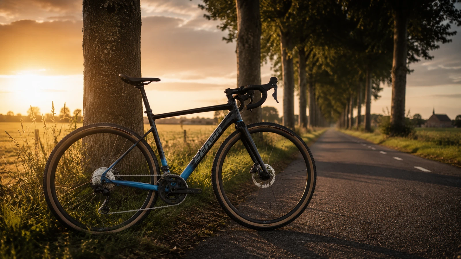
Want to ride the Three Countries Route but don't have your own gravel bike? At Courtens you rent a Sensa Romagna XP GRX 2x12 that handles this route with ease. View the rental options from our shop where the route begins.